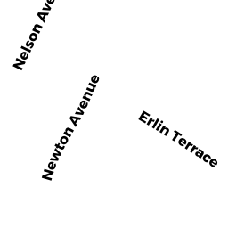
4 NEWTON AV
Owner Information
MAHONEY TIMOTHY J & DUNN JEANNE MARIE
4 NEWTON AV
TEWKSBURY, MA 01876


Property Details
4 NEWTON AV is classified as a Single Family Residential (Cape cod).
The primary structure on this property was built in 1956. There are 2,713ft2 of built area within this property. There is 1,125ft2 of residential/living space within this property.
4 NEWTON AV is valued at $381,500. The land is valued at $185,200 and the structures are valued at $194,800. There is an additional valuation of $1,500 on this property.
This property is in Zone R40. Confirm with local Zoning Board authorities to ensure there are no overlays or other easements on this property.
The most recent deed for 4 NEWTON AV is recorded at the local registrar in Book 32601, Page 0188. 4 NEWTON AV was last sold on Thursday, November 29, 2018 for $1.
Assessment data from fiscal year 2021.
Flood Data
This property is partially within the AE Zone (within floodplain). Approximately 0.0 acres (1.32%) of the property is within this zone.
This information is sourced from the FEMA National Flood Hazard Layer. See our full disclamer.
Broadband Internet Providers
| Provider | Type | Bandwidth (mbps) | |
|---|---|---|---|
| Verizon New England Inc. | DSL | 10 | 1 |
| Comcast | Cable | 1000 | 35 |
| GCI Communication Corp. | Satellite | 0 | 0 |
| HughesNet | Satellite | 25 | 3 |
| VSAT Systems, LLC. | Satellite | 2 | 1 |
| Crown Castle Fiber | Fiber | 0 | 0 |
| Viasat Inc | Satellite | 100 | 3 |
| Verizon New England Inc. | Fiber | 940 | 880 |
Broadband service provider data from December 2020.